Home Feed
Home
Search
Search
Add Review, Blurb, Quote
Add
Activity
Activity
Profile
Profile
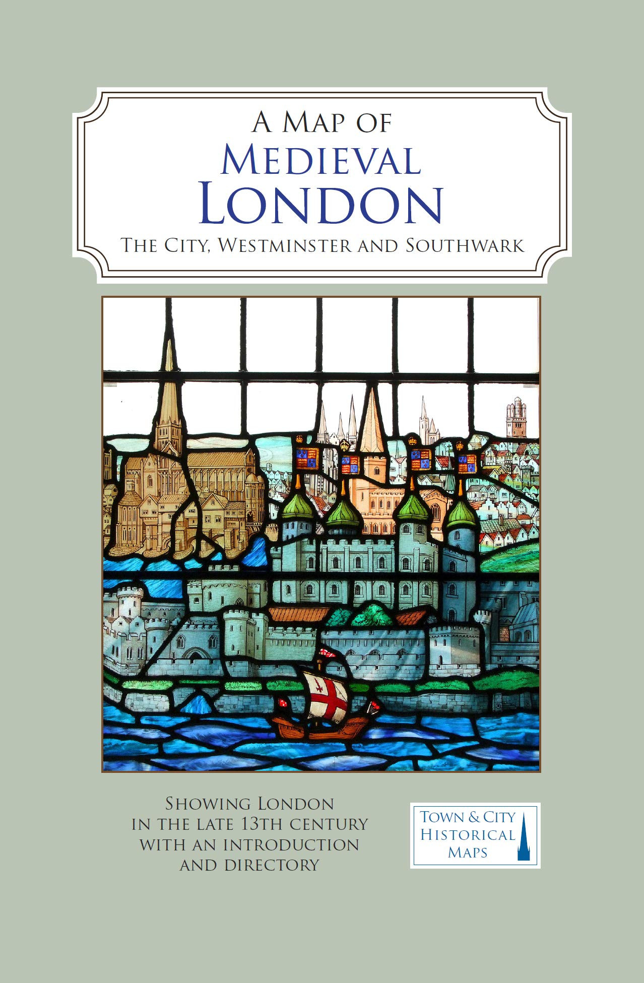
A Map of Medieval London
A Map of Medieval London: The City, Westminster and Southwark | Caroline Barron
1 post
A full colour map showing London about 1270 to 1300 - its walls and gates, parish churches, early monasteries and hospitals, and a growing number of private houses. The city's streets and alleyways had been established. Dominating London are the Tower of London in the east, the old St Paul's Cathedral in the west and London Bridge in the south. Up-river in Westminster, the abbey and the royal palace had been well established, and the great Westminster Hall is very evident. London's playground in Southwark was beginning to grow.
Amazon Indiebound Barnes and Noble WorldCat Goodreads LibraryThing
blurb
bibliothecarivs
post image

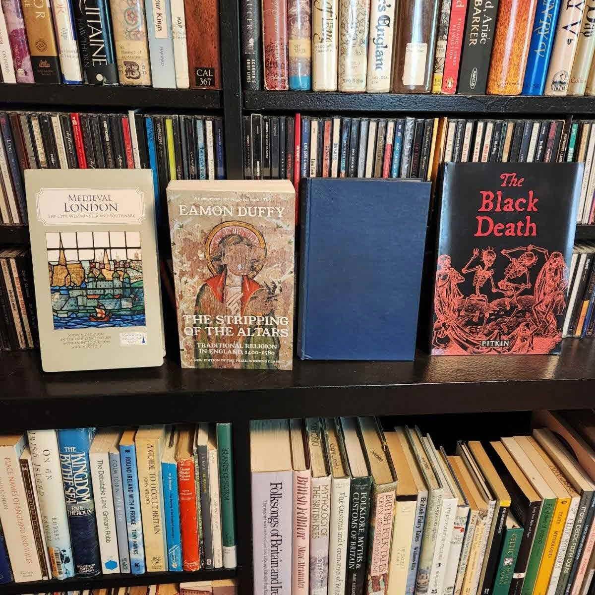
Recent acquisitions from England part 1:

📖 Medieval London: The City, Westminster and Southwark: Showing London in the Late 13th Century with an Introduction and Directory
📖 The Stripping of the Alters: Traditional Religion in England, 1400-1580 by Eamon Duffy
📖 From Becket to Langton: English Church Government 1170-1213 by C. R. Cheney
📖 The Black Death (Pitkin Guides) by Brian Williams

#fREADom #UniteAgainstBookBans

Bookwomble Looks like you're safely home now. Hope you had a splendiferous holiday 😊 2y
7 likes1 comment